
Nairobi – Kangundo Road
Kangundo Road (Kangundo–Tala Road) runs east out of Nairobi through Utawala, Ruai, Kamulu and Joska towards Kangundo and Tala in Machakos County. It is one of the capital's fastest-growing eastern corridors, and this camera tracks traffic flow and weather for the thousands of commuters, matatus and light freight vehicles using it each day.
Why This Camera Matters Today
Personalised insight will appear once weather loads.
What's Happening Now?
Live analysis will appear shortly.
About this Location
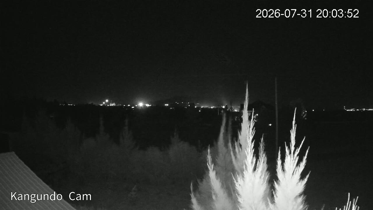
Kangundo Road (Kangundo–Tala Road) runs east out of Nairobi through Utawala, Ruai, Kamulu and Joska towards Kangundo and Tala in Machakos County. It is one of the capital's fastest-growing eastern corridors, and this camera tracks traffic flow and weather for the thousands of commuters, matatus and light freight vehicles using it each day.
Commuter and light-freight corridor linking Nairobi's Eastlands to the Machakos highlands and the Athi River plains.
Warm sub-humid climate. Daytime highs 22–28 °C. Rainfall follows Kenya's bimodal pattern — long rains March–May and short rains October–December.
Live Weather
Weather Radar & Satellite
Last 24 Hours
Farm AI Insight
Live weather loading — the AI insight will appear shortly.
Open Farm AIAgriculture
- 🌽Maize
- 🫘Beans
- 🥬Kale (Sukuma)
- 🍅Tomatoes
- 🥭Mangoes
Nearby Attractions
Sunrise & Sunset
Location on the map
Camera History
- Coming soonToday's TimelapseSunrise → now
- Coming soonYesterday's Timelapse24h condensed
- Coming soonLast Rain EventAutomatically captured
- Coming soonSunrise TimelapseGolden hour, this morning