
Nanyuki – Ragati
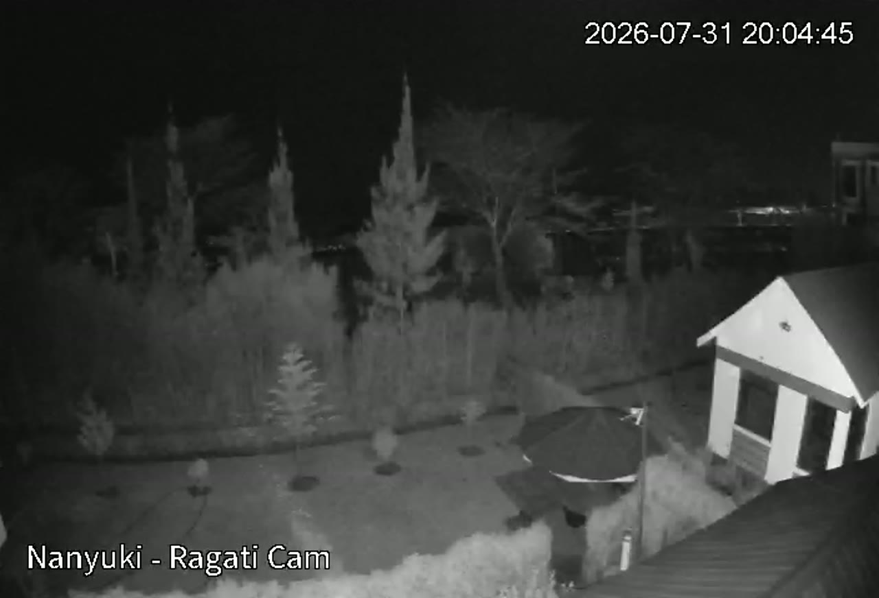
Ragati sits in Nyeri County on the south-western slopes of Mount Kenya, just south of the Equator. At roughly 2,000 m the area has cool, moist highland air and some of Kenya's most productive farmland — tea and coffee on the lower slopes, dairy and horticulture above. It is a gateway to Mount Kenya National Park and the wider central highlands, and this live camera helps farmers, travellers and residents follow cloud, rain and road conditions through the day.
Why This Camera Matters Today
Personalised insight will appear once weather loads.
What's Happening Now?
Live analysis will appear shortly.
About this Location
Ragati sits in Nyeri County on the south-western slopes of Mount Kenya, just south of the Equator. At roughly 2,000 m the area has cool, moist highland air and some of Kenya's most productive farmland — tea and coffee on the lower slopes, dairy and horticulture above. It is a gateway to Mount Kenya National Park and the wider central highlands, and this live camera helps farmers, travellers and residents follow cloud, rain and road conditions through the day.
Gateway on the south-western slopes of Mount Kenya — Africa's second-highest mountain after Kilimanjaro — and to the tea, coffee and dairy belt of the central highlands.
Cool, moist tropical highland climate. Mild days (18–24 °C), chilly nights (7–12 °C). Long rains March–May, short rains October–December, with frequent afternoon cloud building over the mountain.
Live Weather
Weather Radar & Satellite
Last 24 Hours
Farm AI Insight
Live weather loading — the AI insight will appear shortly.
Open Farm AIAgriculture
- 🍃Tea
- ☕Coffee
- 🐄Dairy
- 🌽Maize
- 🥔Potatoes
- 🥬Horticulture
- 🥑Avocado
Nearby Attractions
- Map ↗Mount Kenya National Park12 km
UNESCO World Heritage Site around Mount Kenya (Batian, 5,199 m) — Africa's second-highest mountain after Kilimanjaro.
- Map ↗Ragati Conservancy3 km
Community-linked forest conservancy on the mountain's south-western slopes, known for trout fishing and montane forest trails.
- Map ↗Karatina Market22 km
One of East Africa's largest open-air produce markets, in Nyeri County.
- Map ↗Aberdare National Park45 km
Montane forest and moorland park facing Mount Kenya across the Nyeri highlands.
- Map ↗Nyeri Town35 km
County headquarters and the historic administrative centre of Kenya's central highlands.
Sunrise & Sunset
Location on the map
Camera History
- Coming soonToday's TimelapseSunrise → now
- Coming soonYesterday's Timelapse24h condensed
- Coming soonLast Rain EventAutomatically captured
- Coming soonSunrise TimelapseGolden hour, this morning